1264 products
-
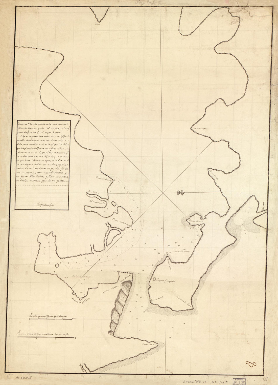 Plano Del Pto. De Nipe Situado En La Costa Del N. De La Ysla De La Havana Y En La Latd. De 21 Grro. 10 Ms. Setpl. Y En La Longd. De 301 Gs. 33 Ms. Segun Tenerife 1700Plano Del Pto. De Nipe Situado En La Costa Del N. De La Ysla De La Havana Y En La Latd. De 21 Grro. 10 Ms. Setpl. Y En La Longd. De 301 Gs. 33 Ms. Segun Tenerife 1700
- Regular price
-
$43.95 $88.95 - Regular price
-
$38.95 - Sale price
-
$43.95 $88.95
-
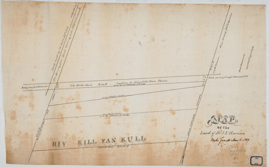 Map of the Land of Dr J T Harrison : Staten Island, New York 1839Map of the Land of Dr J T Harrison : Staten Island, New York 1839
- Regular price
-
$43.95 $99.95 - Regular price
-
$38.95 - Sale price
-
$43.95 $99.95
-
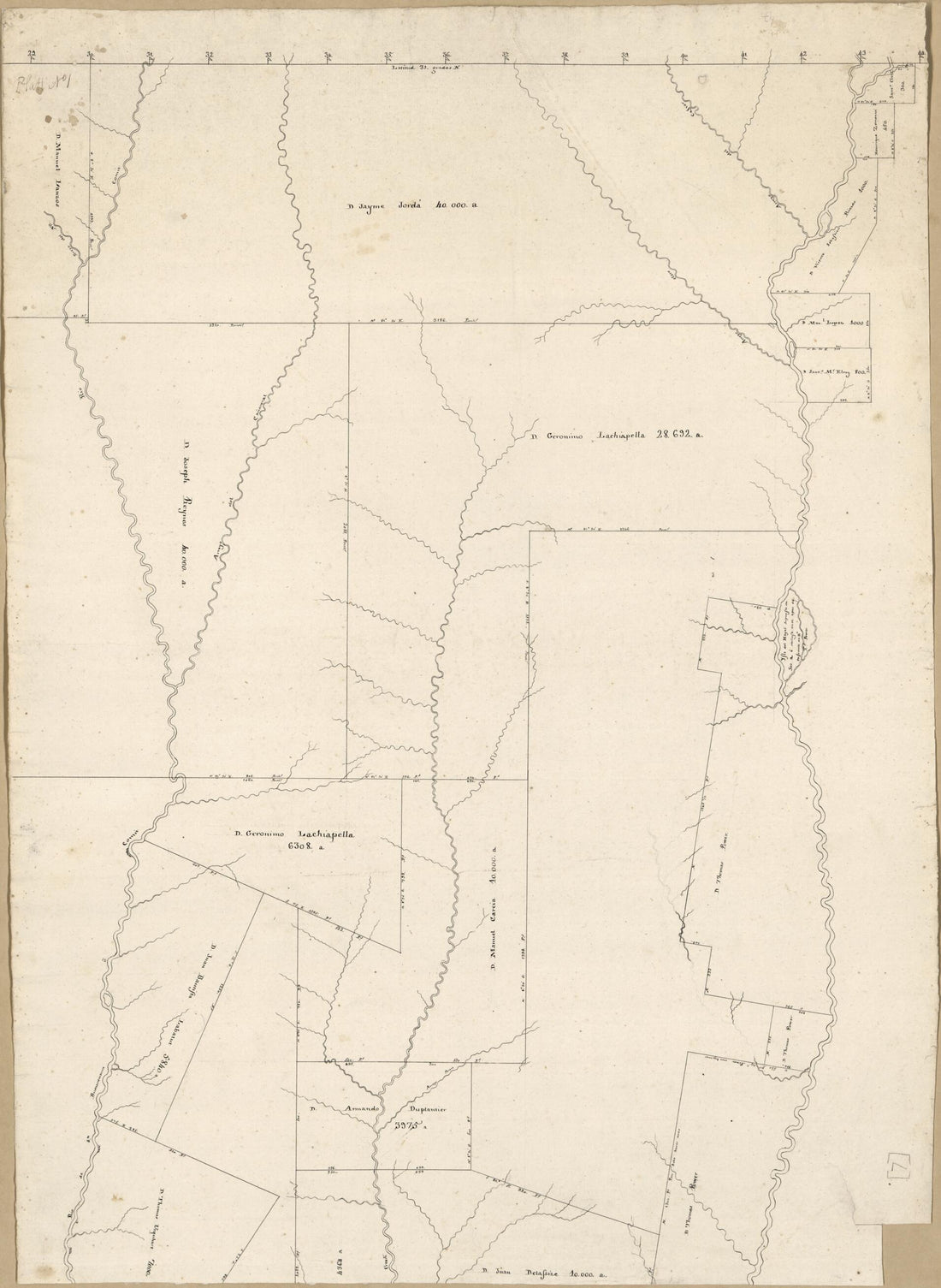 Map of an Area of Spanish West Florida Bounded by Rios Comite On the West and Amite On the East 1805Map of an Area of Spanish West Florida Bounded by Rios Comite On the West and Amite On the East 1805
- Regular price
-
$43.95 $88.95 - Regular price
-
$38.95 - Sale price
-
$43.95 $88.95
-
 Plano Geométrico De La Rada Y Carenero De San Jorge En La Costa Occidl. De La Ysla De La Granada 1793Plano Geométrico De La Rada Y Carenero De San Jorge En La Costa Occidl. De La Ysla De La Granada 1793
- Regular price
-
$46.95 $99.95 - Regular price
-
$41.95 - Sale price
-
$46.95 $99.95
-
 Plano De Las Yslas Malvinas, Situado En La Latitud Sur De 51 Grados 28 Minutos Y En 319 Grados 30 Minutos Lamas Leste Segun El Mro. De Thenerife, Arreglado a Los Ultimos Reconosimientos Echos En Ellas Por Mar Y Tierra, De Orden De Su Gobernador Dn. Fe...Plano De Las Yslas Malvinas, Situado En La Latitud Sur De 51 Grados 28 Minutos Y En 319 Grados 30 Minutos Lamas Leste Segun El Mro. De Thenerife, Arreglado a Los Ultimos Reconosimientos Echos En Ellas Por Mar Y Tierra, De Orden De Su Gobernador Dn. Fe...
- Regular price
-
$41.95 $88.95 - Regular price
-
$36.95 - Sale price
-
$41.95 $88.95
-
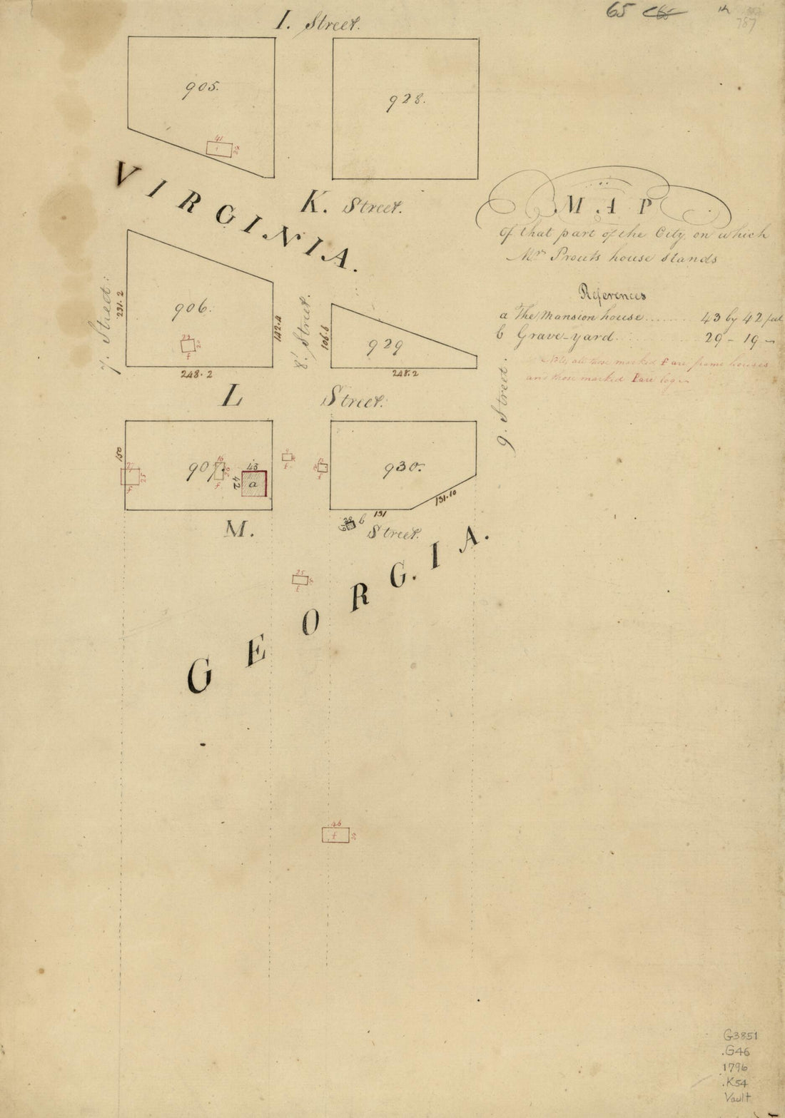 Map of That Part of the City On Which Mrs. Prouts House Stands : Washington D.C. 1796Map of That Part of the City On Which Mrs. Prouts House Stands : Washington D.C. 1796
- Regular price
-
$39.95 $99.95 - Regular price
-
$34.95 - Sale price
-
$39.95 $99.95
-
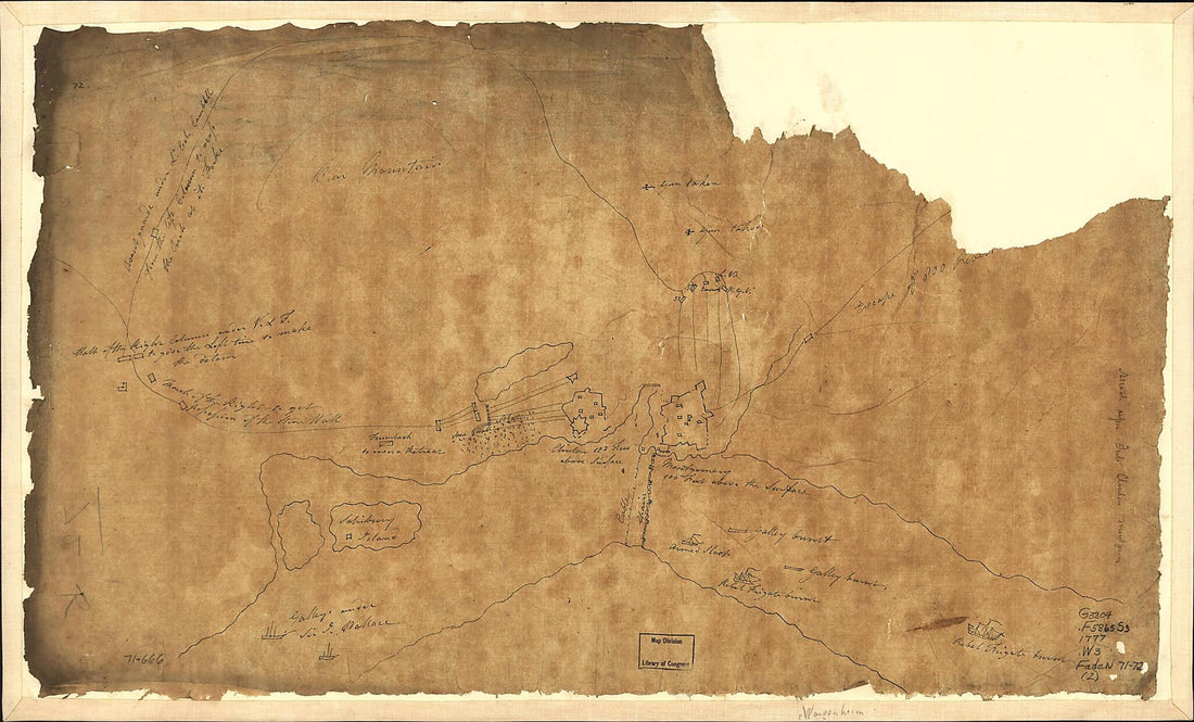 Sketch of Forts Clinton & Montgomery 1777Sketch of Forts Clinton & Montgomery 1777
- Regular price
-
$39.95 $99.95 - Regular price
-
$34.95 - Sale price
-
$39.95 $99.95
-
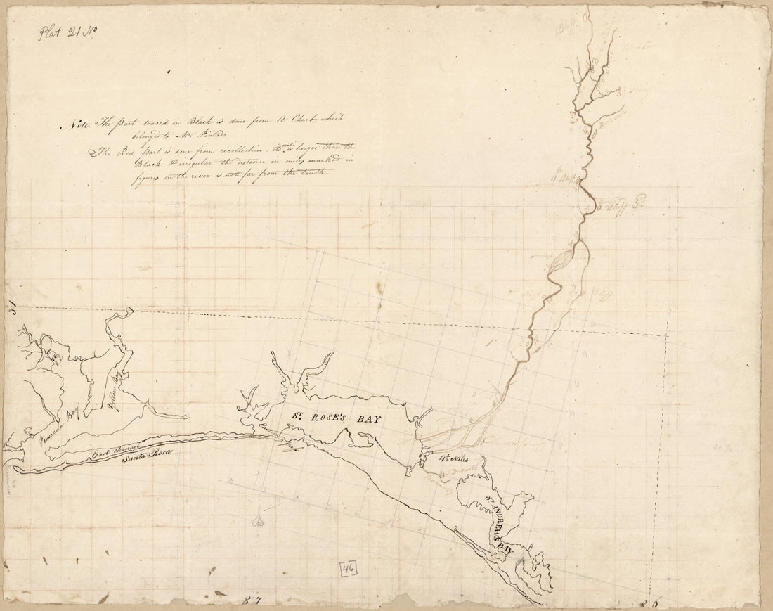 Map of Area from Pensacola Bay to St. Andrew's Bay, Spanish West Florida 1815Map of Area from Pensacola Bay to St. Andrew's Bay, Spanish West Florida 1815
- Regular price
-
$43.95 $83.95 - Regular price
-
$38.95 - Sale price
-
$43.95 $83.95
-
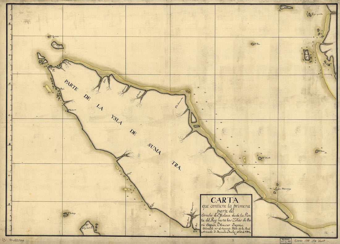 Carta Que Contiene La Primera Parte Del Estrecho De Malaca Desde La Punta Del Rey Hasta Las Yslas De Daru Segun Musur Dapres 1798Carta Que Contiene La Primera Parte Del Estrecho De Malaca Desde La Punta Del Rey Hasta Las Yslas De Daru Segun Musur Dapres 1798
- Regular price
-
$43.95 $88.95 - Regular price
-
$38.95 - Sale price
-
$43.95 $88.95
-
 Puerto De Guárico Situado En La Lattd. De 19°48ʹ Y En La Longd. De 304°16 Ms 1700Puerto De Guárico Situado En La Lattd. De 19°48ʹ Y En La Longd. De 304°16 Ms 1700
- Regular price
-
$39.95 $88.95 - Regular price
-
$34.95 - Sale price
-
$39.95 $88.95
-
 Profile of Valley Street Taken Up the Center from the Curb Line On West Street to the Curb Line On Road Street : Georgetown, Washington D.C. 1858Profile of Valley Street Taken Up the Center from the Curb Line On West Street to the Curb Line On Road Street : Georgetown, Washington D.C. 1858
- Regular price
-
$41.95 $99.95 - Regular price
-
$36.95 - Sale price
-
$41.95 $99.95
-
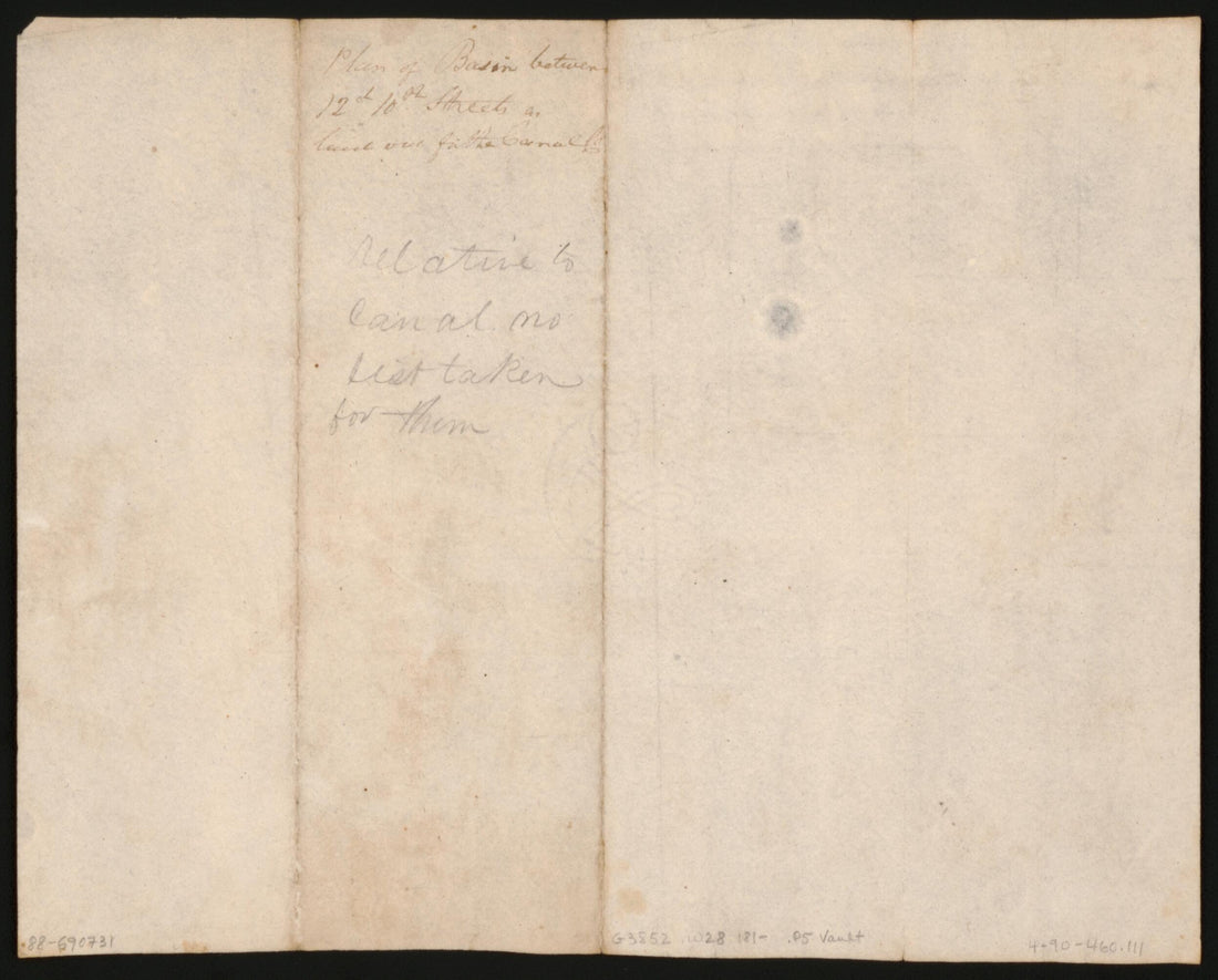 Plan of Basin Between 12 & 10th Streets As Laid Out for the Canal Co. : Washington Canal, Washington D.C. 1810Plan of Basin Between 12 & 10th Streets As Laid Out for the Canal Co. : Washington Canal, Washington D.C. 1810
- Regular price
-
$39.95 $83.95 - Regular price
-
$34.95 - Sale price
-
$39.95 $83.95


