

26 products
-
 Geographic Description of the Travels of the Apostles and the Journeys of Paul, Together With the Countries and Empires Where They First Preached the Gospel. (Geographische Beschryvinghe Van De Wandeling Der Apostelen Ende De Reysen Pauli, Mitsgaders ...Geographic Description of the Travels of the Apostles and the Journeys of Paul, Together With the Countries and Empires Where They First Preached the Gospel. (Geographische Beschryvinghe Van De Wandeling Der Apostelen Ende De Reysen Pauli, Mitsgaders ...
- Regular price
-
$55.95 $99.95 - Regular price
-
$41.95 - Sale price
-
$55.95 $99.95
-
 Lebanon from Atlas of Clinton County, Michigan 1873Lebanon from Atlas of Clinton County, Michigan 1873
- Regular price
-
$49.95 $83.95 - Regular price
-
$32.95 - Sale price
-
$49.95 $83.95
-
 Lands of the Emperor of the Turks Or the Ottoman Sultan In Asia, Africa, and Europe. (Estats De L'empire Du Grand Seigneur Des Turqs Ou Sultan Des Ottomans En Asie, En Afrique, Et En Europe) 1679Lands of the Emperor of the Turks Or the Ottoman Sultan In Asia, Africa, and Europe. (Estats De L'empire Du Grand Seigneur Des Turqs Ou Sultan Des Ottomans En Asie, En Afrique, Et En Europe) 1679
- Regular price
-
$51.95 $88.95 - Regular price
-
$38.95 - Sale price
-
$51.95 $88.95
-
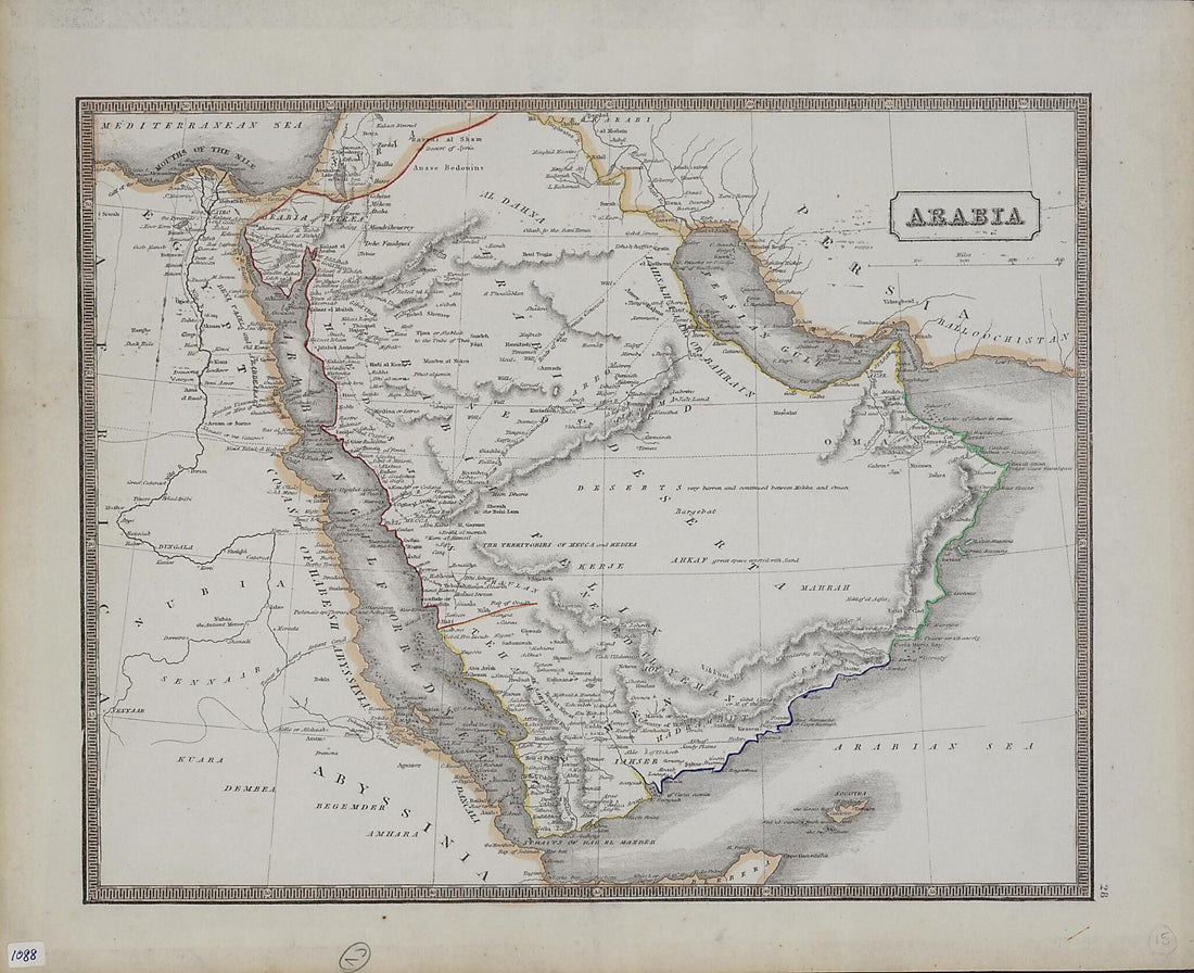 Arabia 1860Arabia 1860
- Regular price
-
$52.95 $83.95 - Regular price
-
$36.95 - Sale price
-
$52.95 $83.95
-
 Lands of the Emperor of the Turks Or the Ottoman Sultan In Asia, Africa, and Europe. (Estats De L'empire Du Grand Seigneur Des Turqs Ou Sultan Des Ottomans En Asie, En Afrique, Et En Europe) 1679Lands of the Emperor of the Turks Or the Ottoman Sultan In Asia, Africa, and Europe. (Estats De L'empire Du Grand Seigneur Des Turqs Ou Sultan Des Ottomans En Asie, En Afrique, Et En Europe) 1679
- Regular price
-
$51.95 $88.95 - Regular price
-
$38.95 - Sale price
-
$51.95 $88.95
-
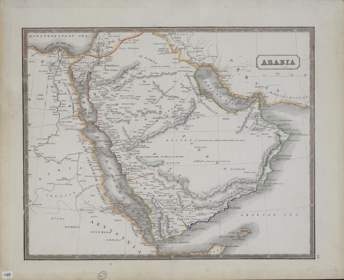 Arabia 1860Arabia 1860
- Regular price
-
$52.95 $83.95 - Regular price
-
$36.95 - Sale price
-
$52.95 $83.95
-
 Arabia Distribuzione Approssimativa Dei Riti O Scuole Giuridiche E Delle Sette Religiose Musulmane in 1918Arabia Distribuzione Approssimativa Dei Riti O Scuole Giuridiche E Delle Sette Religiose Musulmane in 1918
- Regular price
-
$54.95 $83.95 - Regular price
-
$38.95 - Sale price
-
$54.95 $83.95
-
 Israel, Lebanon, Syrian Arab Republic (1861) 1913Israel, Lebanon, Syrian Arab Republic (1861) 1913
- Regular price
-
$51.95 $126.95 - Regular price
-
$38.95 - Sale price
-
$51.95 $126.95
-
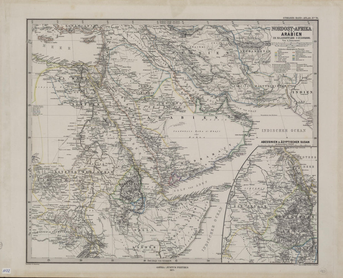 Northeast Africa and Arabia Drawn to the Scale of 1:12,500,000. (Afrika Und Arabien Im Maassstabe 1:12,500,000) 1875Northeast Africa and Arabia Drawn to the Scale of 1:12,500,000. (Afrika Und Arabien Im Maassstabe 1:12,500,000) 1875
- Regular price
-
$54.95 $83.95 - Regular price
-
$38.95 - Sale price
-
$54.95 $83.95
-
 Turkish Empire. (Tvrcicvm Imperivm) 1635Turkish Empire. (Tvrcicvm Imperivm) 1635
- Regular price
-
$54.95 $84.95 - Regular price
-
$38.95 - Sale price
-
$54.95 $84.95
-
 Western Asia. (Asie Occidentale) 1809Western Asia. (Asie Occidentale) 1809
- Regular price
-
$49.95 $88.95 - Regular price
-
$34.95 - Sale price
-
$49.95 $88.95
-
 Palestine, With the Hauran, and the Adjacent Districts 1843Palestine, With the Hauran, and the Adjacent Districts 1843
- Regular price
-
$49.95 $83.95 - Regular price
-
$34.95 - Sale price
-
$49.95 $83.95


